Satellite Tracking

Tracking your freight is straightforward. Our system continuously monitors vehicles, shipments, and equipment, giving you a clear view of movement across different modes of transportation.
Satellite tracking uses GPS signals to determine the location. That data is paired with mapping systems to show where your freight is and how it is progressing. We also make sure the tracking experience is easy to use. You can access updates when you need them, and if something changes, there is a clear line of communication with our team.


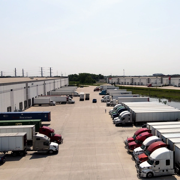
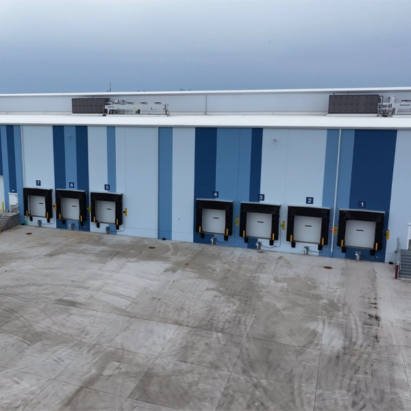
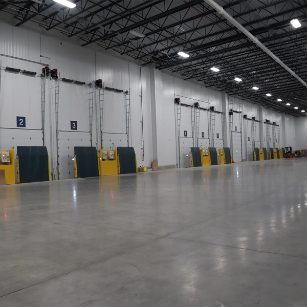
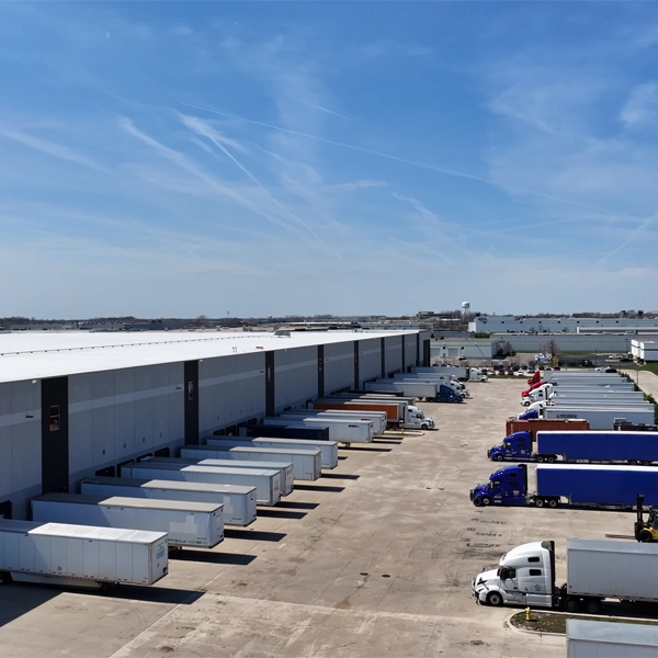
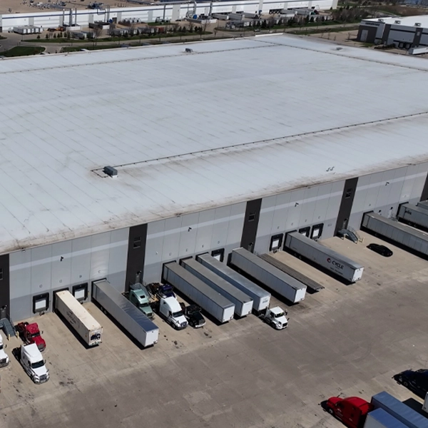
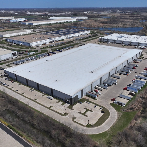
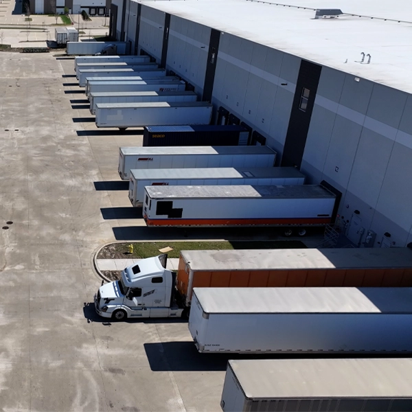
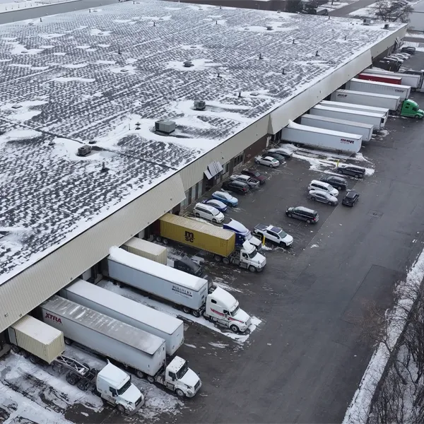
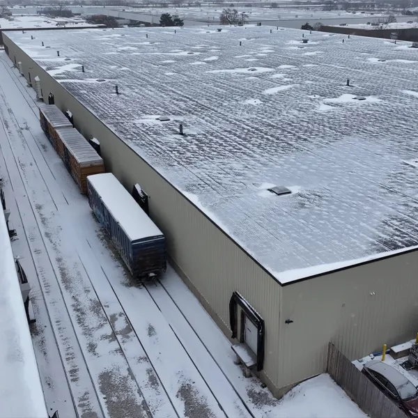
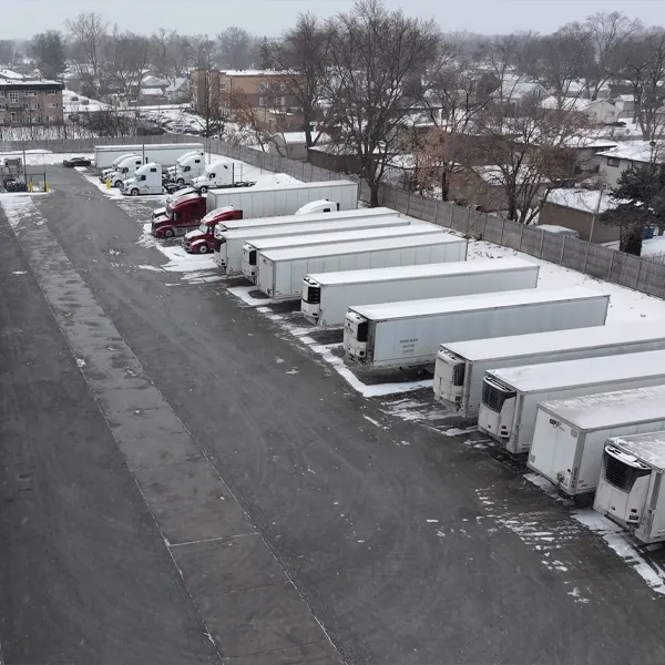
Our Fleet
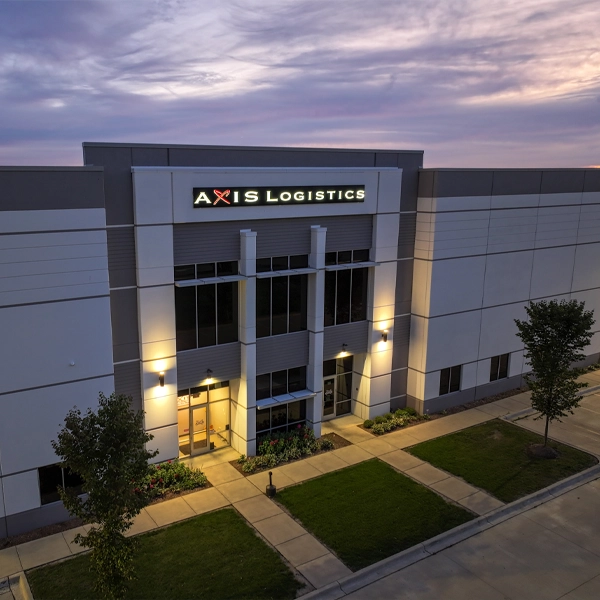
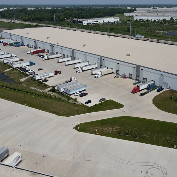
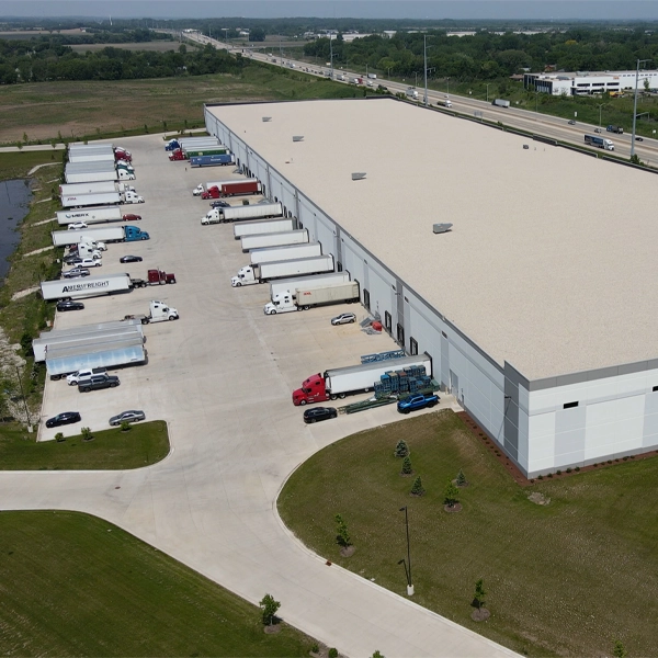
Axis Warehouse & Logistics is dedicated to bringing you next-level service. We operate our own fleet of trucks and work with an extended carrier network to offer full coverage throughout the United States, Canada, and Mexico.

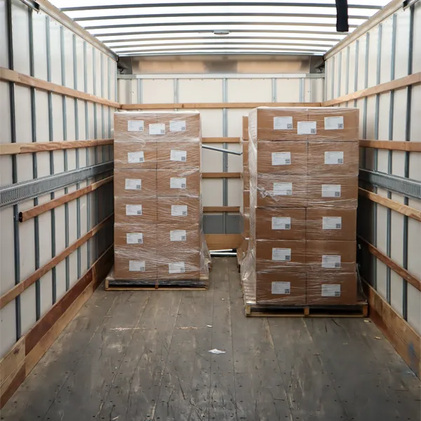
Tracking data is useful when it leads to better decisions. We use that information to support more accurate shipments, improve coordination, and keep you updated on the progress of your freight. Our warehouse management system works alongside tracking to provide a more complete view of your supply chain. Together, they help keep operations organized and moving in the right direction.